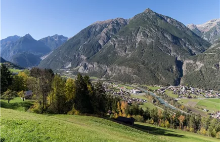
Dorfrundgang Zams
Family Hiking
Leisure and Recreational Hiking
Themed walks
This leisurely hike leads from the Venetbahn car park through the Zammer Hinterfelder to the convent of the Sisters of Mercy and through the avenue back to the starting point.
Easy
5,00 km
10 m
01:15 h
Easy
Route
5,00 km
10 m
01:15 h
775 m
Starting Point
Venetbahn Valley Station
End Point
Venetbahn Valley Station
Description
The starting point is the Venet Bergbahnen car park. From there, you cross the main road and pass through a small housing estate directly into the Zammer Felder, a small-scale farmland and meadow landscape that stretches westwards to the riverbed of the Inn. Footpaths and farm tracks lead through the fields. You circle the fields and meadows in a semicircle and walk along the banks of the Inn towards the Zammer houses and the Inn bridge. Directly by the bridge, you climb up the steps to the main road and cross the Inn on the bridge. On the other bank, turn left into the settlement and take the first left again through a subway past the Platter locksmith's shop. Follow this path past the Zams sports centre to the Walter Fraidl bridge. Cross the bridge over the Inn again and follow the path past the convent of the Sisters of Mercy to Zams hospital. Keep right at the hospital and after approx. 50 metres take the footpath to the left. Now follow the former railway line, which offers a wonderful view, especially in spring with its blossoming avenue trees, until you reach the Riefen building. Here you can already see...
Elevation Profile & Characteristics
Skill Level
Endurance
Amenities & Features
Family hike
Hike suitable for prams
Circular hike
Public Transport
From Landeck-Zams train station, take Line 1 to the Venetbahn stop. Check the SCHEDULE.