Fließ - Waldweiher - Gogles Alm - Glanderspitze
Alpine Hiking
Hiking & mountain tour
Leisure and Recreational Hiking
Wonderful hike from the nature park community of Fliess via the forest pond and the Gogles Alm 2,017m to the Glanderspitze 2,505m.
Medium
9,40 km
1435 m
10:00 h
Medium
Route
9,40 km
1435 m
10:00 h
2505 m
Starting Point
Fließ
End Point
Glanderspitze
Description
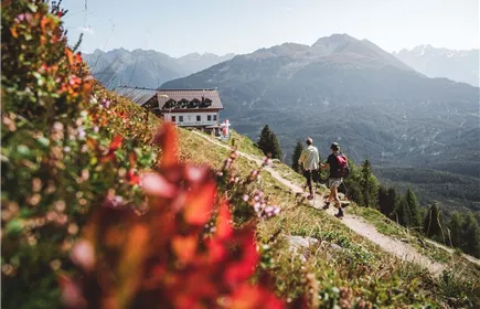
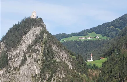
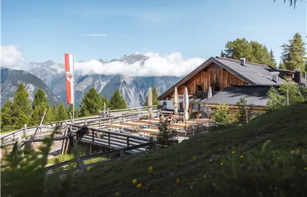
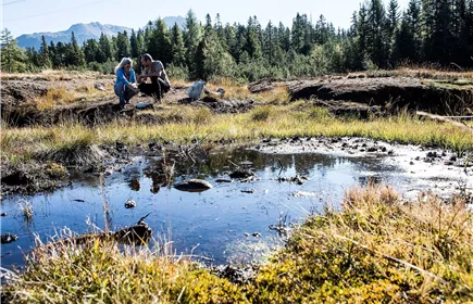
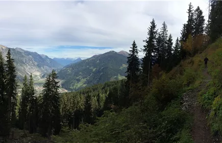
From the parish church in Fliess, head in the direction of Biedenegg Castle. After the castle, take a steep right-hand bend uphill towards Kälgergatter. From there, follow the path up to the forest pond. The trail continues uphill through the Gogleswald forest until you finally reach the Goglesalm (2,017 m, walking time approx. 4 hours). Here you can fortify yourself and enjoy the marvellous view of the mountains of the Kaunergrat Nature Park.
From the hut, first follow the E5 towards Wenns and then keep left following the signs up to the Glanderspitze. The path winds its way in pleasant hairpin bends over grassy hills towards the summit. On the Glanderspitze (2,505 m) you can enjoy a marvellous panoramic view of the breathtaking mountain world.
From the hut, first follow the E5 towards Wenns and then keep left following the signs up to the Glanderspitze. The path winds its way in pleasant hairpin bends over grassy hills towards the summit. On the Glanderspitze (2,505 m) you can enjoy a marvellous panoramic view of the breathtaking mountain world.
Best Season
Jan
Feb
Mar
Apr
May
Jun
Jul
Aug
Sep
Oct
Nov
Dec
Elevation Profile & Characteristics
Skill Level
Endurance
Path Conditions
Asphalt, forest road, trail
Public Transport
From the Landeck-Zams train station, take Line 240 to Fließ. Please check the SCHEDULE.
Parking
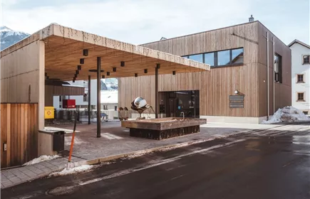
All the way to the parking garage at the Fließ Community Center or the parking lot at the parish church in Fließ.
Community Center Fließ Parking Garage. Or the parking lot at the parish church in Fließ—day passes are available at the Fließ municipal information office