Burgenweg Pians-Grins-Stanz-Zams
Long-distance hiking
Long-Distance Hiking (from 5 stages)
Themed walks
Medium
12,00 km
300 m
04:00 h
Medium
Route
12,00 km
300 m
433 m
04:00 h
1128 m
Starting Point
Pians
End Point
Zams
Description
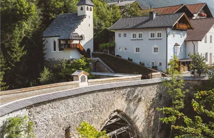
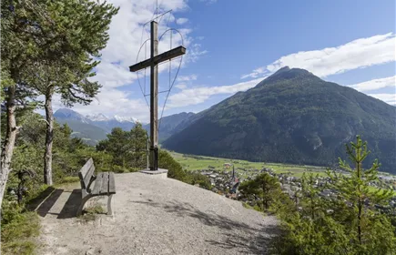
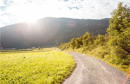
The starting point is the “Pians Abzweigung Silvretta” bus stop. From here, the trail takes us through the Pianner district of Quadratsch up to Grins. The ascent is just 100 meters in elevation. Following the Way of St. James, the route crosses beautifully landscaped terraced slopes over to Stanz. There, the impressively situated Schrofenstein Castle ruins await us, towering high above the Landeck valley basin. Next comes the descent down to Landeck and on to Zams.
Best Season
Jan
Feb
Mar
Apr
May
Jun
Jul
Aug
Sep
Oct
Nov
Dec
Elevation Profile & Characteristics
Skill Level
Endurance
Amenities & Features
Multi-Day Tour Feature
Etappe
Public Transport
From the Landeck-Zams train station, take bus 5, 260 or 270 to Pians - Abzw. Silvretta stop. Check the SCHEDULE.
Impressions