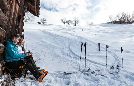
Rifenal - Venetbahn mountain station
Ski tour
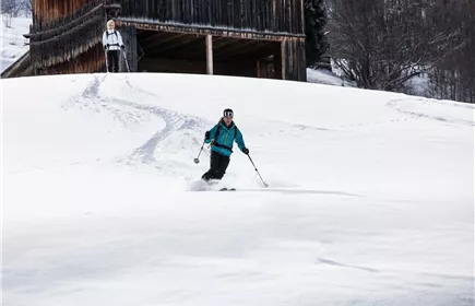
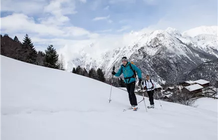
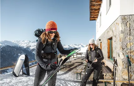
This route leads to the Zammer Alm, where a stop is always worthwhile, and then continues up to the top station of the Venetbahn, where the view compensates for the efforts of the climb.
Medium
6,10 km
1251 m
Medium
Route
6,10 km
1251 m
15 m
2193 m
Starting Point
Talstation der Rifenalbahn
End Point
Zammer Alm
Description
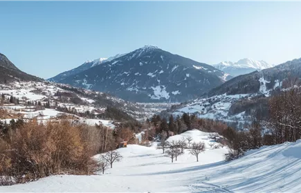
Next to the piste and through the forest, the trail leads up to the Venetbahn mountain station at 2,208 m. A magnificent panoramic view is reward for the effort and a refreshment in the Panorama Restaurant recharges the batteries.
Length: 6105 m
Ascent: 1251 m
Descent: 15 m
Lowest point: 957 m
Highest point: 2193 m
Length: 6105 m
Ascent: 1251 m
Descent: 15 m
Lowest point: 957 m
Highest point: 2193 m
Elevation Profile & Characteristics
Amenities & Features
Exposure
N