Eagle Walk Stage 21: Württemberger Haus - Memminger Hütte
Long-Distance Hiking (from 5 stages)
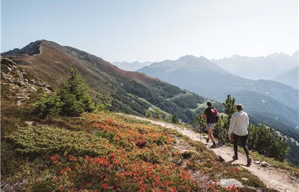
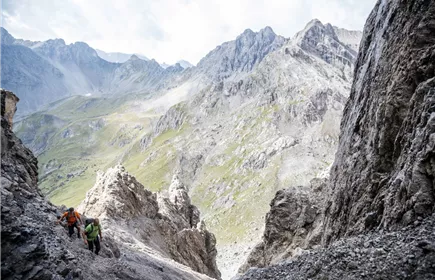
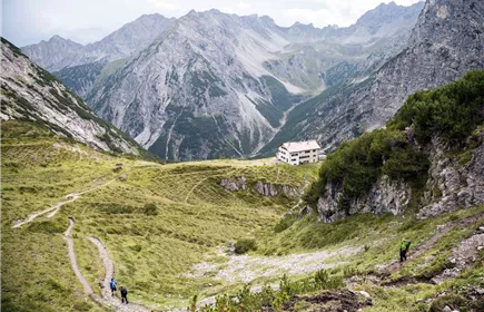
Ranking among the supreme ridge-running, cloud-probing, flower-swaying, peak-peering jaunts in all of the Lechtal Alps, the trek to Memminger Hütte Hut will have you hopping with joy with its nonstop horizon-spanning views of jagged ridges, cirques, flanks and colossal summits, though you'll work hard to reap those rewards. Once aloft on the ridgetop, the trail gains 2,657-metre Großbergspitze Spire and 2,612-metre Großbergkopf Peak along a precipice that is assisted by a fixed anchoring system of cables. A vigorous climb switchbacks up to Seescharte Notch; beyond it’s a knee-jarring descent to Memminger Hut, where a necklace of three sparkling Alpine lakes is flanked by rocky peaks.
Hard
7,00 km
670 m
05:00 h
Hard
Route
7,00 km
670 m
650 m
05:00 h
2623 m
Starting Point
Würtemberger Hause
End Point
Memminger Hütte
Description
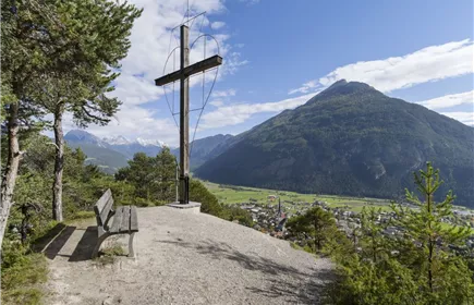
trail description: First, descend a few metres from Württemberger Haus Lodge (attention due to remodeling work Württemberger Haus is closed 2025 - alternate hut is Steinseehütte) on a singletrack trail. Then, the route crosses gently ascending tussock slopes and a scree slope before leading across a partly steep rock-strewn grass flank, assisted by a fixed anchoring system of cables, to the ridge. Now, climb up to the summit of Großbergspitze Peak with its simple timber cross, alternately on the left and right side of the ridge on a relatively level path heading northward. Catch your breath and scan the horizon. How many of the summits of the Lechtal Alps can you identify? From Großbergspitze Peak, the route gently descends along the spine of the ridge for a short distance. The trail climbs to a rock outcrop that has permanently fixed cables for protection. Then, it’s just a few steps up to Großbergkopf Mountain. Now, the route steeply descends on an exposed rubble-strewn singletrack trail left of the ridge, passing Großbergjoch Saddle. Thereafter, the trail crosses tussock slopes, descending for a short distance, but soon resumes its climb, traverses a rubble cirque and runs up to Seescharte Notch. The last rocky...
Best Season
Jan
Feb
Mar
Apr
May
Jun
Jul
Aug
Sep
Oct
Nov
Dec
Elevation Profile & Characteristics
Skill Level
Endurance
Amenities & Features
Multi-Day Tour Feature
Etappe