Bike&Hike | Zams - Zammer Alm / Schihütte Zams - Krahberg
Bike & Hike
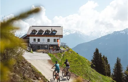
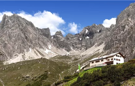
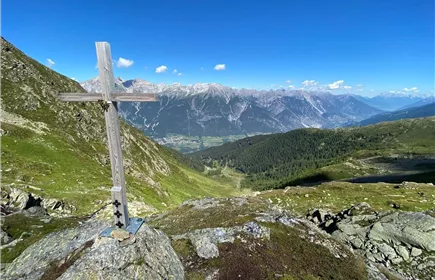
Wonderful mountain bike tour from the Venetbahn valley station to the Zammer Alm / Schihütte Zams. The subsequent hike leads up to the Krahberg at 2,212 metres.
12,00 m
1429 m
04:19 h
Route
12,00 m
1429 m
04:19 h
Starting Point
Talstation Venetbahn
End Point
Krahberg
Further Details
Wonderful mountain bike tour from the Venetbahn valley station to the Zammer Alm / Schihütte Zams. The subsequent hike leads up to the Krahberg at 2,212 metres.
Best Season
Jan
Feb
Mar
Apr
May
Jun
Jul
Aug
Sep
Oct
Nov
Dec
Elevation Profile & Characteristics
Skill Level
Endurance
Amenities & Features
Difficulty level Bike
schwierig / schwarz
Difficulty level Hiking route
mittelschwierig
Of which ascent - bike
993 m
Of which ascent – Hike
436 m
Of which route length - bike
8,7 km
Of which route length hike
2,9 km
Of which ride time - bike
2 h 30 min
Of which walking time - hike
1 h 49 min
Path Conditions
Asphalt, Forstweg, Steig
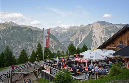
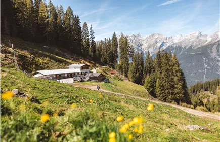
Mountain bike tour 7118 from the Venetbahn valley station via Rifenal and Lahnbach up to the Zammer Alm. This mountain bike tour leads from the Venetbahn valley station up to Rifenal and on to Lahnbach. There you turn right onto the forest road. This is initially quite rough and challenging to ride, but after approx. 1 km it leads into a forest path, which is easier to ride despite some steeper sections. This forest path then leads up to the Zammer Alm, where a marvellous view and a good snack are the reward for the effort.
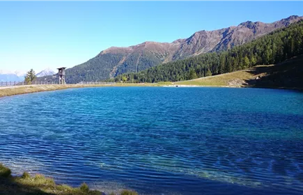
From the Zammer Alm (1,760 m) you reach the reservoir after approx. 500 metres. This beautiful little lake invites you to take a break and enjoy the fantastic view of the Lechtal Alps. You then continue towards the mountain station on the Krahberg (2,212 m).